Geoscience and mining
The SIGÉOM layers for your mining district, in one click
SIGÉOM layers for a mining district, imported into your files.
Included from the Personal plan
SIGÉOM, without going through the portal
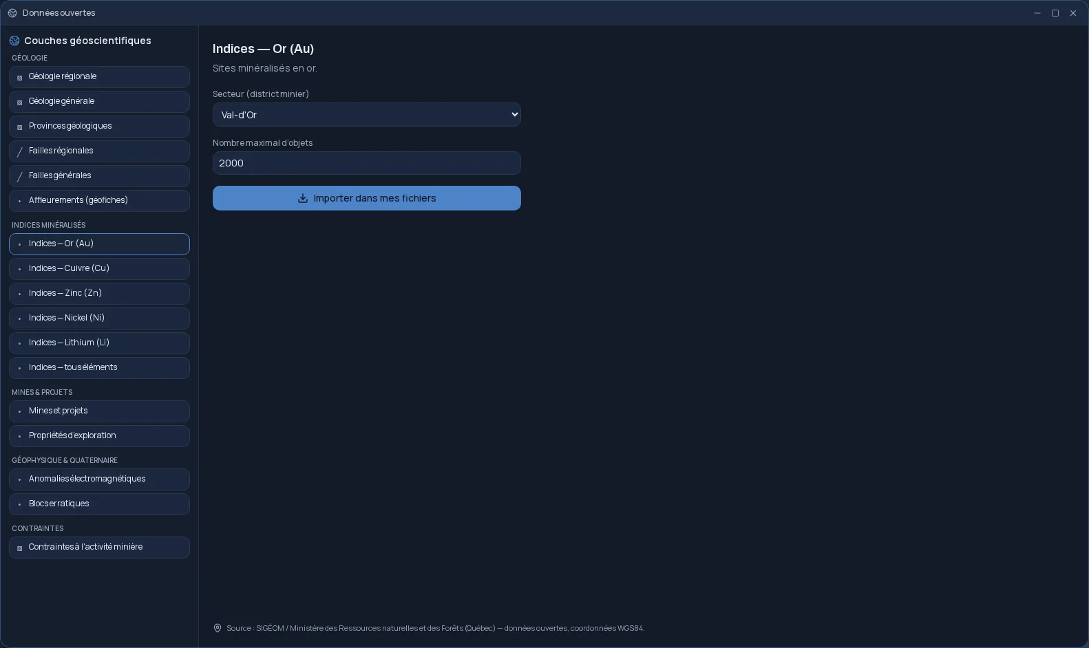
Open data queries the public SIGÉOM service, Québec's geomining information system, on your behalf. You choose a layer and a mining district; the app fetches the features in that area and saves them to your Files space as GeoJSON.
The layers exploration relies on
The catalogue keeps seventeen layers, grouped by theme:
- Geology: regional and general geology, geological provinces, faults, outcrops.
- Mineral showings: gold, copper, zinc, nickel, lithium, or all elements.
- Mines and projects, exploration properties.
- Geophysics and Quaternary: electromagnetic anomalies, erratic boulders.
- Constraints on mining activity.
By mining district
The areas on offer cover the Abitibi belt and beyond: Val-d'Or, Malartic, Rouyn-Noranda, the Cadillac fault between Rouyn and Val-d'Or, Chibougamau, and Abitibi as a whole. You set the maximum number of features, up to 10,000 per import.
Ready for what comes next
Each import becomes a GeoJSON file in WGS84 coordinates, named after the layer and the area. You open it in QGIS, overlay it on your own data or show it on a report map, without leaving Cloud OS. The app credits its source: SIGÉOM, Québec's ministère des Ressources naturelles et des Forêts.
Frequently asked questions
- Where does the data come from?
- From the public SIGÉOM service, the geomining information system of Québec's ministère des Ressources naturelles et des Forêts. It is open data.
- What format is it saved in?
- GeoJSON, in WGS84 coordinates, in your Files space. The file opens in QGIS and most GIS software.
- Which areas are covered?
- Val-d'Or, Malartic, Rouyn-Noranda, the Cadillac fault, Chibougamau and Abitibi as a whole.
- Does Open data cost extra?
- No. The app is included in the subscription from the Personal plan.